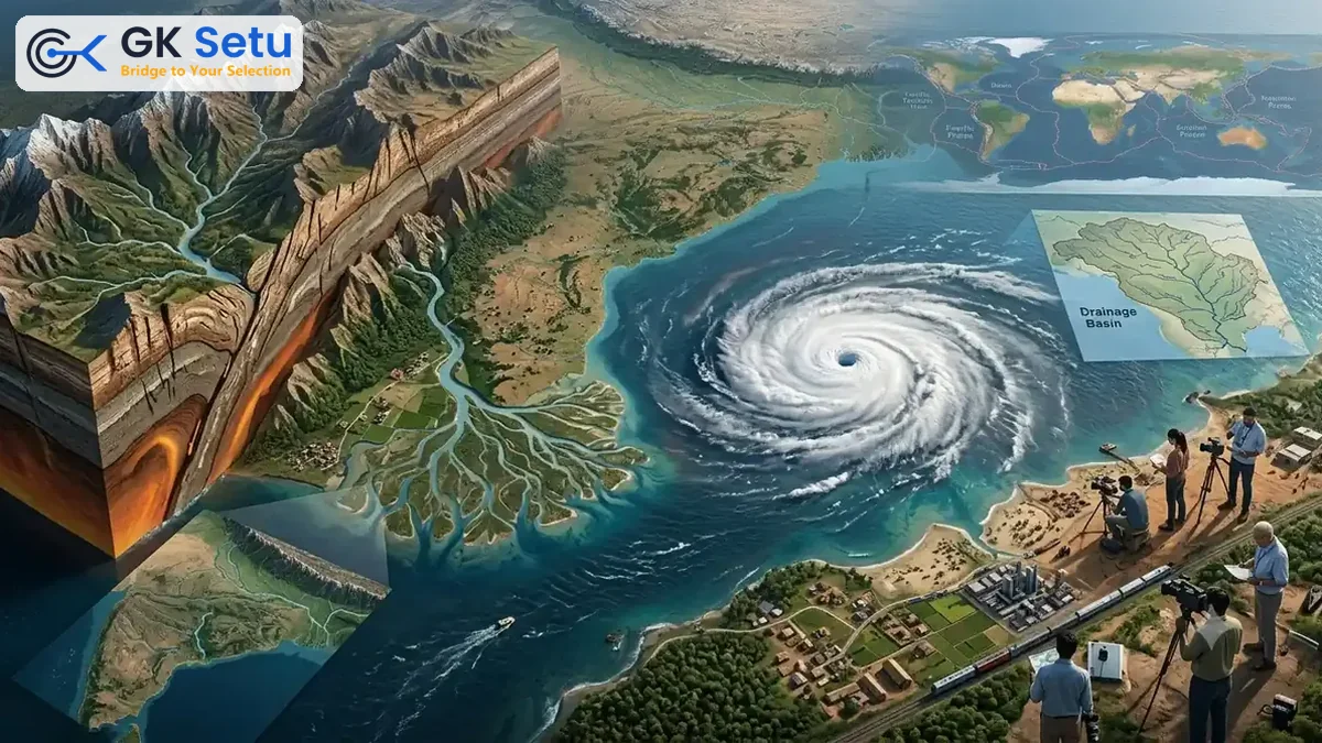
Physical Geography: Tectonics, Cyclones and Drainage
Key Exam Topics & Concepts Covered
- Tropical Cyclone Tracking: The real-time meteorological monitoring of severe cyclonic storms by the IMD to assess coastal topographical vulnerability and coordinate disaster management protocols.
- Tectonic Framework & Seismic Zoning: The study of earth's crustal movements, earthquake causes, magnitude scales, and structural fault lines shaping India's diverse physical geography.
- Peninsular River Morphology: The hydrological classification and structural analysis of major drainage basins, specifically highlighting the 9 longest South Indian rivers.
As of late October 2026, the India Meteorological Department actively tracked Cyclone Arnab, issuing critical landfall updates and weather advisories that highlight the dynamic fragility of regional physical geography.
The Executive Snapshot Hook
Imagine living on a razor-thin edge where massive tectonic plates shift beneath your feet while violent oceanic tempests roar overhead. In October 2026, this reality took center stage as the India Meteorological Department mobilized advanced tracking systems for Cyclone Arnab. This intense meteorological event serves as a clear reminder that physical geography is not merely a static map chapter in an exam textbook; it is a living, breathing theater of science, climate mechanics, and national survival.
| Key Dimension | Verified Detail / Metric |
|---|---|
| Governing Authority | India Meteorological Department / National Disaster Management Framework |
| Scale & Scope | 9 Longest South Indian Rivers mapped alongside active coastal cyclone monitoring |
| Milestone Date | October 2026 |
| Primary Beneficiary / Target | Coastal populations, disaster response agencies, and competitive examination aspirants |
3 Core Pillars
- Pillar I: Atmospheric Dynamics & Cyclonic Vulnerability
Tropical cyclones like Cyclone Arnab act like giant thermal engines. Drawing immense energy from warm ocean waters, they crash against low-lying coastal topographies. Just as a pressure cooker vents steam when heat rises, tropical oceans release pent-up thermal energy via spiraling winds. Tracking these systems requires precise meteorological surveillance to protect millions living along vulnerable coastlines. - Pillar II: Tectonic Architecture & Seismic Realities
Beneath India's visible landscape lies an aggressive subterranean puzzle. The northward drift of the Indian tectonic plate crashing into the Eurasian plate creates immense geological stress. Updated geographical studies from October 2026 emphasize that understanding seismic zones and magnitude scales is non-negotiable for civil engineering, urban planning, and structural safety across earthquake-prone regions. - Pillar III: Hydrological Networks & Peninsular Drainage
Water shapes civilizations. Moving from the skies and the earth's crust to surface flow, India's river systems dictate agrarian economies. Educational resources underscore the vital structural importance of major river systems, including the 9 longest South Indian rivers that carve through the Deccan plateau, sustaining millions before emptying into the sea.
The Executive Summary Takeaway
Physical geography dictates the pulse of a nation—from the tectonic collisions that built the towering Himalayas to the coastal tempests tracked by the IMD during Cyclone Arnab in October 2026. For students, professionals, and citizens alike, mastering these interconnected systems of atmosphere, earth, and water transforms abstract data into a powerful lens for understanding national security, environmental resilience, and sustainable development.