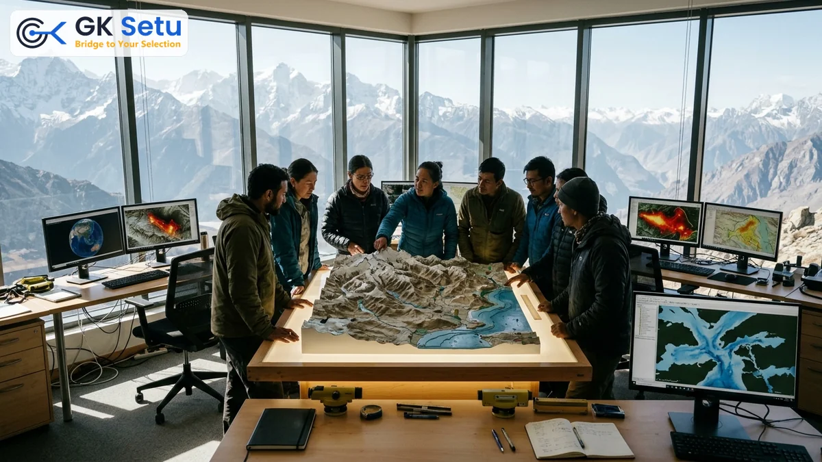
Mapping Earth: Physical Geography & Regional Geopolitics
- Physical Geography & Regional Dynamics: The study of Earth's natural features—such as landforms, climate systems, and oceans—integrated with South Asian geopolitics to understand how terrain dictates national security and disaster management. Critical for civil services aspirants.
- Global South & Multilateral Engagement: India's diplomatic and strategic outreach through economic blocs like BRICS, shifting the needle on international cooperation and resource sharing for the 2026-2027 academic and administrative cycle.
On November 1, 2026, premier civil services guidance platforms including Vajiram & Ravi released updated Mains current affairs modules addressing core concepts in physical geography and regional geopolitics.
Imagine standing on a jagged Himalayan ridge. Monsoon clouds break against ancient stone walls below. The very curve of that mountain slope dictates human survival down in the plains. Physical geography is never a collection of static textbook maps. It remains the living stage upon which national destiny, economic policy, and strategic calculation unfold.
Institutions rolled out targeted examination updates on November 1, 2026. Terrain, climate, and regional dynamics directly govern state administrative action. To study geomorphology, climatology, and oceanography is to examine the core engine parts of a self-regulating planetary system.
The geography of a nation is its fate; yet, through rigorous scientific understanding and strategic foresight, nations can transform natural vulnerabilities into engines of sustainable development.
Consider shared river basins like the Brahmaputra and Ganges. Upstream topography dictates downstream flood management and agricultural yields for 1,400,000,000 citizens. By contrast, international diplomacy relies heavily on spatial mechanics. Controlling Indian Ocean chokepoints secures global trade corridors.
Practical Implications for Examination Candidates
Modern assessments demand deep conceptual synthesis rather than rote memorization. Aspirants must connect plate tectonics and atmospheric circulation directly to disaster management frameworks.
- For Students: Bridge foundational textbook concepts with real-world geopolitical flashpoints across South Asia.
- For Practitioners: Utilize accurate spatial data for urban zoning, municipal drainage, and coastal zone regulations.
Mastering these spatial mechanics builds a resilient administrative framework capable of navigating 21st-century environmental complexities.